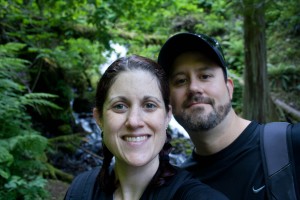
I almost called this post “Quivering Quads” because my legs felt like Jell-o after our 4th of July hike! Michael and I ate a normal breakfast, picked up a foot long sandwich to share from Subway, and hit the road. Our destination was The Gorge. Remember a few months ago we attempted Devil’s Rest and turned around? Well we were determined to do it this time.
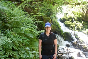
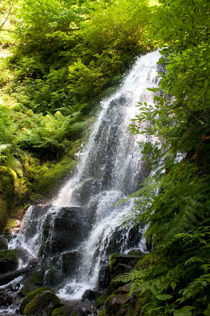
The place was packed with fair-weather hikers out enjoying their sunny holiday. The weather was beautiful! Sunny, not a cloud in the sky and about 70 degrees. Michael and I blazed a trail up Wahkeena Falls. I was telling him about the awful news stories I’ve read lately about hikers falling and dying on Eagle Creek. Michael said that it was most likely inexperienced hikers doing dumb things (which we see SO much on our hikes). My argument was that Eagle Creek is a treacherous, dangerous hike and they need to install railings at the worst parts of the trail.
At exactly that moment we were having a conversation about the dangers of hiking, a guy in front of me on the trail stopped, tried to turn around and lost his balance. He was starting to fall off the side of the trail when I instinctively grabbed his arm and pulled him back up to the trail. It was total reflex (thank you weight lifting for giving me the upper body strength to grab a guy 3x bigger than me!!) and after the fact I realized it was probably dumb of me to grab him–he could have pulled me down with him!
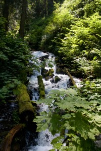
He was fine and Michael and I continued on past the waterfalls and the throngs of day hikers. We set a really good pace up the trail. There were a lot of beautiful wild flowers along the trail. This one in particular was gorgeous and I was told by another hiker it’s Columbine.
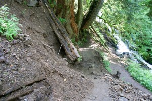
The washed out part of the trail that we were on last time was still washed out but had been trampled on enough to make it a bit easier to traverse. It was still uncomfortable grasping onto the side of loose, wet soil on the hillside to get passed it.
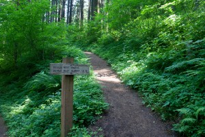
We got to that fork in the road where you can take the Vista Point Trail, Devil’s Rest or Larch Mountain and we sat for lunch. I devoured my half of the Subway sandwich, famished after hiking for nearly 2 hours. We shared a Gatorade and then headed up Devil’s Rest.
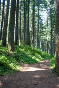
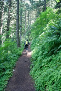
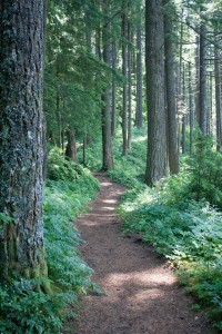
I saw a lot of people attempting Devil’s Rest this time. I kid you not, most of the trail is straight up. I did not get a picture that does the elevation justice. Trust me. It was brutal.
And I kept thinking….How the HELL did I do this hike 25 pounds heavier??!?! It’s a strenuous part of the hike that will make your hamstrings, calves and quads scream for mercy. We stopped to rest at some of the scenic lookout points.
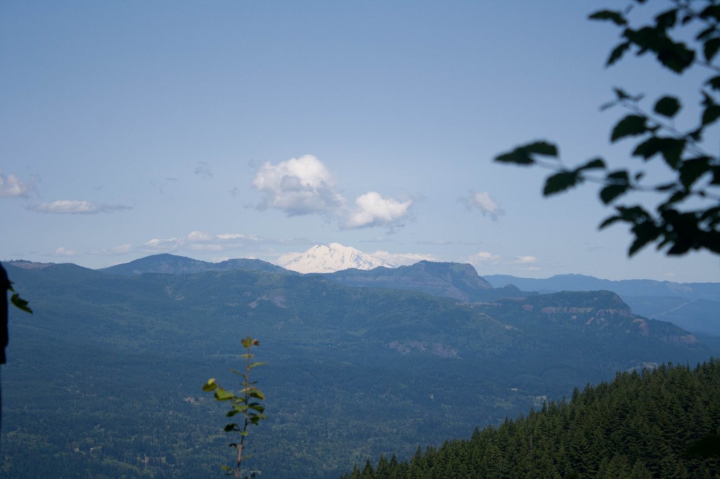
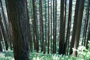
I believe that is Mount Adams in the distance, across the Columbia River in Washington. We were THAT high up on the hike! There were views of the Gorge, the trees below and blue, blue sky. It was worth the knee-creaking it took to get up there.
It got to the point where it was feeling like it was the Never-Ending-Hike. We were both getting tired but at least we’d finally done Devil’s Rest together! We turned around for the brutally difficult downhill climb. I was worried about my knees. They were starting to ache a bit and all I wanted was to be back to the car.
Michael and I tromped down the trail and then he turned to me and said, “Did we go this way? I don’t even remember this part of the trail because it was so long ago.” Truth! It was becoming all a blur.
We finally made it down to the trailhead. We were both tired, sweaty and my thighs were jiggling like Jell-o. Ouch ouch ouch. It turned out to be the longest hike we’ve ever done at over 9 miles!!! Holy cow. It was a “dog bone loop” (we learned that term the hard way) with an elevation climb of 2300 feet.
Good for Kids: Iffy. There are a few parts of the trail that are dangerous but for the most part it’s ok for kids.
Good for Dogs: Probably ok. Leash recommended because there are a lot of dogs there.
Cost: Zero. Parking lot fills up fast, get there early.
Activity Level: Strenuous
Scenery: Spectacular.
Verdict: Fantastic hike but you will be sore the next day!
Hike Stats:
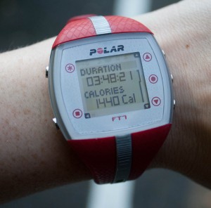
Time: 3:48
Calories Burned: 1440
Mileage: 3 miles to Larch Trail, then 1.6 to Devil’s Rest – total 9.2
We got home and got ready for dinner. The neighborhood was having a BBQ (and our neighbors may have had Washington fireworks…ahem…) so I made up a bunch of kale chips with kale from the garden, Michael cracked some beers and we joined the neighborhood party!
I made good food choices. We had brats and the kale chips and I had a taste of all the other foods at the BBQ (fruit, pasta salad, potato salad, fruit salad). It was such a fun night! I really like our neighborhood and the neighbors are super fun to hang out with. I wish we did more block parties than just once a year on the 4th. I might have to suggest it. 🙂
Quick question: do you guys prefer the smaller photos or the larger photos?
QUESTION: Longest hike you’ve ever been on? How was your holiday?

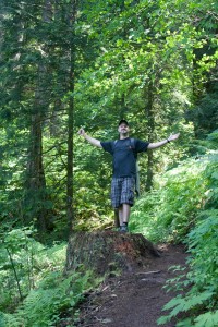




Marie
Beautiful! I love the big pictures when it is something scenic or detailed, the goofy ones are good at that smaller size. So jealous it was only in the 70s there this week. It’s gonna be 103 here today. :/
There’s a trail in Albuquerque called the La Luz that goes up to Sandia’s crest, something like a 4000 ft elevation gain, and about 8 miles. I have hiked both up it and down it, but never both on the same day! There’s a tram to the top, so we usually will ride up and then hike back down. (There is a trail race every year where people RUN up it. Eff that.)
Lisa Eirene
Thanks for weighing in on the photos, I agree with what you said.
I love that your hike has a tram to take you back down! What a great idea. There’s a tram here that goes from the waterfront to the top of the hill where OHSU is so we could in theory hike up there and take the tram back.
You should totally run that next year. 😀
Roz@weightingfor50
Hi Lisa. SUCH beautiful hik photos. Thank you for sharing them with us! The neighborhood gathering sounds great. LOVE the look on Michael’s face in the last photo. Have a wonderful Friday.
Lisa Eirene
Thank you Roz!
Michael is a goofball. That photo captures his personality well. 😀
Eleonora
I love the big pic of the waterfall! Agreed, large pictures are best for scenery.
Longest hike. That’s a hard one! If you don’t count multiple-day hikes I’d say 9 or 10 hours, with 4500ft elevation gain.
I have no clue about the mileage, since here in Italy trail distances are expressed in hours, not miles or kilometres. That actually makes sense, because sometimes they are so steep that one mile takes one hour!
Plus, some trails are very long (called “high ways”) and it takes you several days to walk on a trail start to finish.
Lisa Eirene
4500 ft is amazing! I think the Italian method is smart–I would like to know trails in hours. I can usually guess it based on the mileage and elevation but it makes more sense to just post hours.
Eleonora
It’s really helpful if you’re planning a long hike and don’t want to be out when it’s dark.
Times are usually quite accurate for a medium hiker, so I usually end up getting to my destination earlier than what is posted, but it gives you a nice buffer for taking photos and stopping if you need to.
I think you’d love the Dolomites!
Lisa Eirene
When I go to Italy I will definitely have to try your hikes after eating all the amazing food and wine there. 😀
Hiking safety is so important (lots of people die here when they get lost, or fall, etc) and the big one is not being out there when it gets dark. We try and get our hikes started earlier in the day so we have enough time. There’s only been one occasion where the sun was starting to set a little bit before we got back.
Sharon
My longest day hike is around 14 miles. That was a few years ago when I was at goal weight. Now that I’m back within 5 pounds of goal (getting there slowly), I’m hoping to pass my record with a 15-miler before the end of this year!!
The hike you wrote about looks beautiful. Hope to hike in your area one of these days.
Lisa Eirene
14 miles is AWESOME! Way to go. How sore were you the next day?
You should definitely visit the Northwest. There is gorgeous hiking all over here. We just end up in the Gorge so much because the hikes are good and it’s less than an hour’s drive.
Jess
I agree that the big pictures are good for the really spectacular views, but the smaller pictures are good for everything else.
WOW a 9 mile hike! You must have slept like a log that night; I know I would have!
Lisa Eirene
Honestly, neither of us slept well that night! I have no idea why. I was expecting to be zonked out and was bummed when I tossed and turned. I blame the fireworks, over-exhaustion and my allergies are awful right now.
Jess
Awww, bummer! That is always my favourite part of long walks; The awesome nights sleep. I took my class to the zoo last month, and after 4 hours of walking around, making sure I still had 22 children with me, I was asleep by 9 that night and slept for 12 hours.
Lisa Eirene
I was thoroughly bummed I did not sleep like the dead that night!
Erin
I agree with the other posters, I like the large pictures for things that need the detail, but otherwise the small ones are good 🙂
Good job on finishing this hike! I have a love/hate relationship with the Gorge. The vistas are amazingly breath taking but the elevation change is HARD. But whenever so go somewhere flat, I miss views. I just finished up my first backpacking trip. We were out for 3 days and covered nearly 30 miles (the longest day was 11 miles) and 6,000 feet elevation. It was one of the most amazing, challenging things I have ever done! We did the Tanner Butte- Eagle Creek, it was great (in a painful, miserable way 🙂 ) I didn’t know someone died at Eagle Creek, how scary! But I could totally see it being easy to fall off. I know I was clutching the hand rail with dear life!
Lisa Eirene
Great job on your hiking! 11 miles us crazy and you should be really proud of yourself. I say the same thing about hiking in the Gorge–we try to branch out and try other hikes but in the end, they really are just better. More bang for our buck, so to say.
Eleah
How funny… I am doing this hike today and was looking at trip reviews on portlandhikersfieldguide.com and found yours!
Did they not have the chains up at Eagle Creek when you posted this? I did it for the first time last weekend and there were chains at some of the dangerous spots.
We’re not leaving Portland until 12:45.. I’m usually a morning hiker so this should be interesting!
Lisa Eirene
That’s great that you tried those hikes! Where are you visiting from?
The Eagle Creek trail does have steel rope attached to the side of the rock wall on parts of the trail but I wouldn’t call that a safety feature. The trail is narrow, steep, crowded, and there are parts of the trail that could really use a rope or fence on the side of the cliff!