Sunday morning Michael and I ate a hearty breakfast (splitting a bacon and cheese omelet) and scampered up to Mount Hood to take advantage of the snow and the sunshine. We decided to do the Crosstown Trail not far from Government Camp.
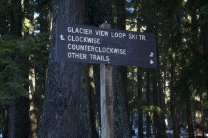
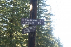
We parked at the Glacier View Sno-Park and apparently missed ALL of the signs pointing to the Crosstown Trail. 😛 What we ended up actually doing was the Glacier View Trail instead.
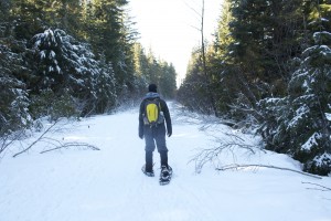
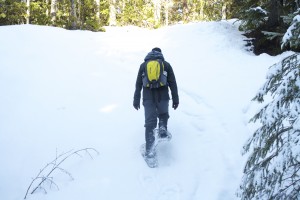
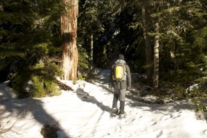
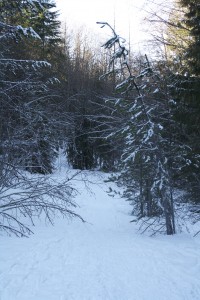
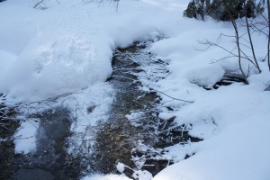
Glacier View was a downhill ascent into the trees and over frozen creeks. It was quiet out there and we didn’t see a lot of people. I think the other snowshoers we’d seen at the Sno-Park found the correct signage and took the right trails. Oh well!
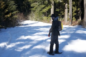
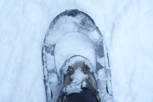
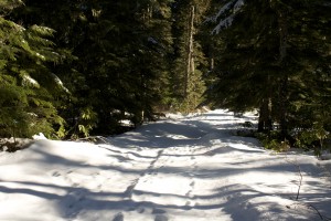
The weather was gorgeous on Sunday–sunny, clear skies and pretty warm for being January. There’d been some recent snowfall and the snow was light and crunchy under our shoes.
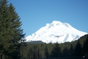
We kept going downhill and eventually we turned a corner revealing a small view of Mount Hood. It looked gorgeous: white and majestic against the clear blue sky. It was partially obscured by the tall trees.
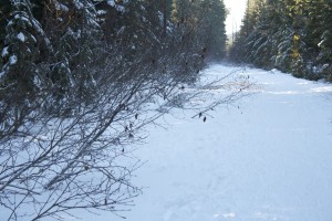
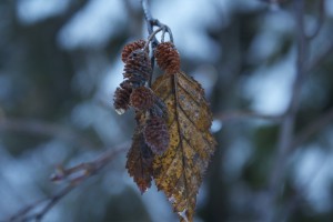
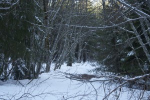
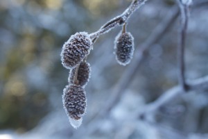
We trekked through clearings and dodged naked trees amongst the huge pines. Kinda spooky, huh?
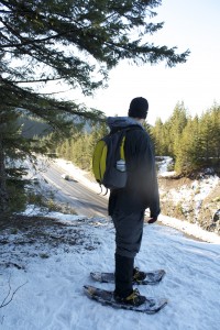
Eventually we got to the end of the trail. I thought it was a loop but we were literally at the end–with Highway 26 below us! We turned around and backtracked.
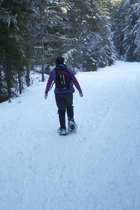
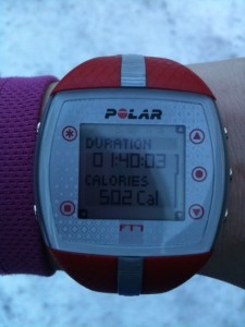
It was a MUCH better workout heading back–it was entirely uphill. My heart rate stayed in the 145-150 range for the climb up.
Half-way up the hill, I saw a sign for a short 1/2 mile loop called Kurt’s Konnection. In fact, we’d parked our car in the Sno-Park right in front of the beginning of Kurt’s Konnection. I suggested we take that route back to the car instead of backtracking. The trail went off the main trail and immediately went downhill again.
We descended into the forest and trekked along uneven terrain that hadn’t had much traffic on it lately. It was clear that there was a trail there, though, so we confidently forged on.
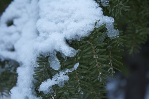
We trekked along the trail that weaved through frozen, bare trees and we were dwarfed by the humongous evergreens that drooped with snow.
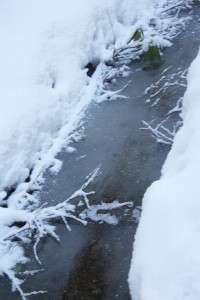
The trail leveled out and we hiked along a creek on a narrow ridge. We got to one section of the trail and realized we had to cross over a frozen creek. There wasn’t a clear trail here and our steps were tentative. Michael heard the sound of ice cracking underneath him but we made it across the narrow creek okay.
The trail got super sketchy at this point. I couldn’t see the continuation of a clear trail OR footprints. Not only that, there was yet another frozen creek except it was much bigger and more difficult to get around. There were steep parts, uneven parts and Michael didn’t think it was a good idea. I said, “Let me put my camera away”–wise words. I put my camera safely back in the bag and then took a step. And tripped. And fell. I got back up and brushed the snow off, but we decided that it was time to turn around.
It had disaster written all over it. The last thing either of us needed was to end up in a creek and get hypothermia 3 miles from the parking lot. We headed back up the path to the main trail and then back to the Sno-Park.
Michael estimated we did about 4 miles total, I think it was probably like 3. There’s really no way of knowing, though, with all the backtracking we did.
Stats:
Time: 1:40
Calories Burned: 502
It was a beautiful day and a really fun way to exercise. I’d skipped my swim at the gym and spent a wonderful day with Michael instead. After we got back to the car, we ate our Subway sandwiches and drank iced tea before heading back down the mountain. What a day!
QUESTION: Are you a skilled “backcountry” hiker/skier/snowshoer? Do you have a GPS device for hiking?
Becky
That trail looks gorgeous! And you have significantly more snow than we do, which just seems crazy. I use my GPS watch for all the hikes I do in the summer, and it seems to be pretty accurate. I’ve only been snowshoeing once and it was QUITE the workout!
Lisa Eirene
What kind of GPS do you have? We want to get one. I think it’s a good idea for the snow adventures we go on. It’s easy to get turned around when everything is white. I have a compass but it’s just not the same.
Snowshoeing is a GOOD workout. It may be a slow workout but it’s intense.
Ingunn
I have a GPS but I’m not very good at using it…I usually stick to the ol’ map instead.
These photos makes me want to get out in the snow RIGHT NOW!
Lisa Eirene
See, and I am terrible at reading a map! Do you use topographical maps?
It was a gorgeous day on Mount Hood! I would love to explore St. Helens or Rainier someday.
Ingunn
Yes, topo maps! It’s definitely worth it to learn how to use a map & compass…makes the hiking more fun and, who knows, it might save you some day!
That said, a GPS is a really useful tool too, especially in a heavily treed area or if there’s a whiteout. Plus I’m a stats geek, so it’s nice to know how many miles and feet you’ve gained :o)
Lisa Eirene
REI offers free classes. I need to find the time to go to some of them!
Deb
Wow! I wish we had things like this near us! Every time you post about a hike like this I love it. Of course I’d also need to find someone willing to do it with me. Love the photos!
Lisa Eirene
Where do you live? Is there a mountain nearby?
Deb
Lancaster, Cali. Its a high desert area. Pretty much all flat unless you want to drive at least an hour, and I don’t have the money for gas… lol.
I’m totally jealous of all those trees too! All of our trees lean at a 15* angle, and only have branches on one side… lots of high winds here.
Lisa Eirene
Bend is the high desert and they have snow. I agree that gas is expensive. I suggest getting together a group of people to go too and everyone splits gas money!
Lisa
what an awesome adventure!!!
Lisa
I’m surprised that they haven’t marked the trails. By marking, I’m talking about a stroke of paint on a tree.
I can’t imagine going hiking or snow shoeing in the winter without knowing for sure where I was going! Using a GPS or map and compass sounds like it would make the experience very interesting.
Lisa Eirene
It was clear that it was a trail and there were markings (blue diamonds on the trees). I just picked the WRONG trail. Silly!
Roz@weightingfor50
Hi Lisa, WOW…that trail looks GORGEOUS. How fun to get your workout in that way.
Lisa Eirene
Snowshoeing is definitely a FUN way to get some exercise in! Much better than a treadmill, if you ask me. 🙂
JJ
The first time I went cross country skiing at Glacier View, I had pretty much the same experience! We totally got off the trail, or off the trail we *thought* we were on, and ended up at the same highway overlook. And did step through into a creek on Kurt’s Connector 🙂 I got the Mt Hood Winter Trails map though, and studied and studied it and finally figured out where all the different loops and trails go there and it’s one of my favorite places to ski/snowshoe. I’ve also gotten a lot better at actually spotting the blue blazes on the trees! They’re easy to miss if you daydream at all, like I tend to do!
Lisa Eirene
Oh that’s good to know! We were confounded as to how we totally missed the trail. It wasn’t a bad hike, though, and I’d definitely do it again!